

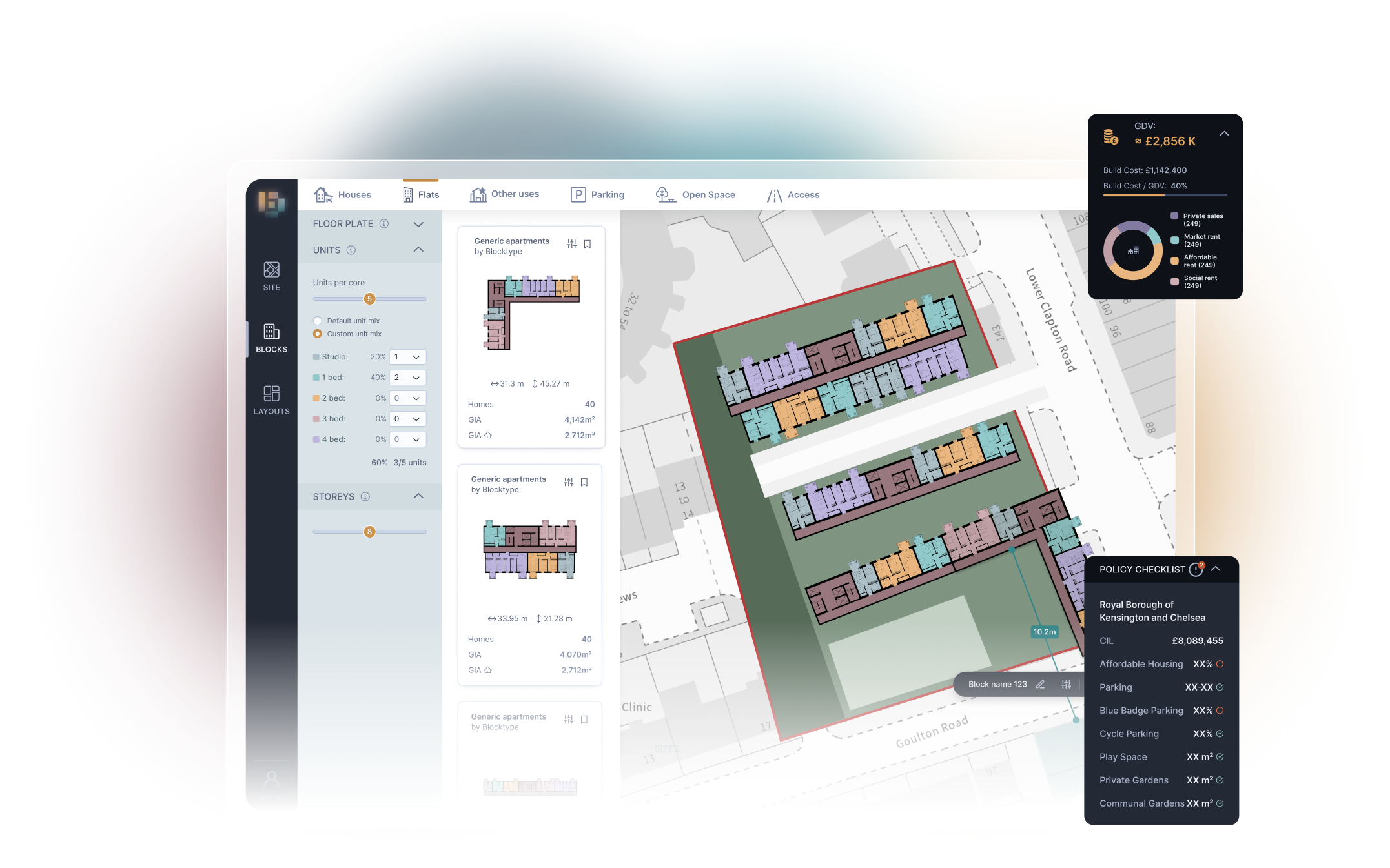
Instantly assess a site’s development potential.
Blocktype helps local authorities, developers and landowners understand what can realistically fit on land before committing significant time, money or resource.
Trusted by many public and private entities

Wigan Council logo with the text 'Wigan Council' and a heart symbol

Transport for London logo with a stylized circular symbol and text.

"We Made That" logo in dark and light blue letters on a black background.

Mace logo

Lambeth council logo

Ealing council logo
-
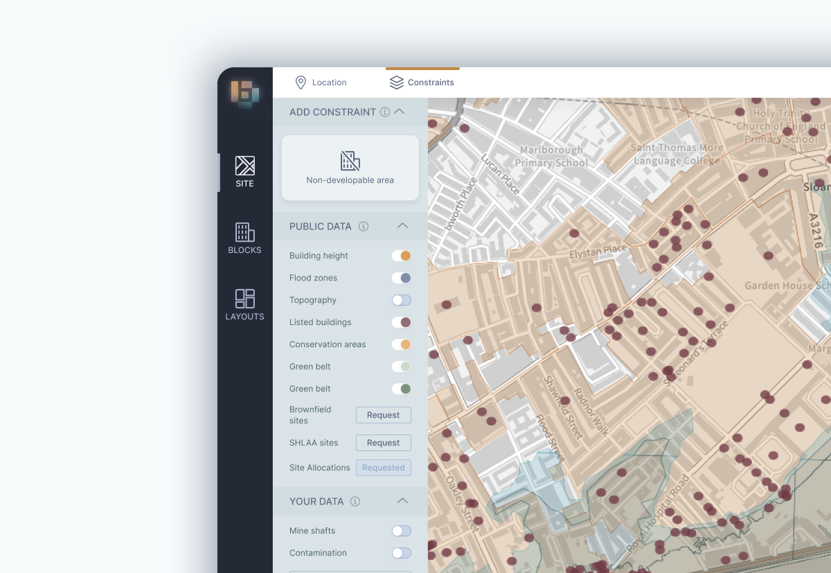
Which parts of the site are constrained or non-developable?
Draw or import a site boundary and review key constraints.
-
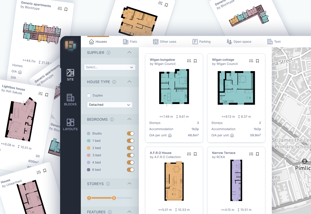
What can realistically fit on this site?
Use real housing typologies to generate and compare layout options.
-
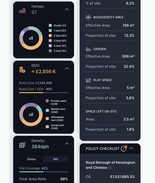
What housing mix and density could work?
Review capacity, density, child yield, and comply with policy requirements
-
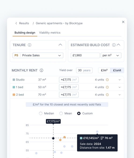
What are the early cost and value indicators?
Calculate GDV, see estimations on sales value and build cost.
-
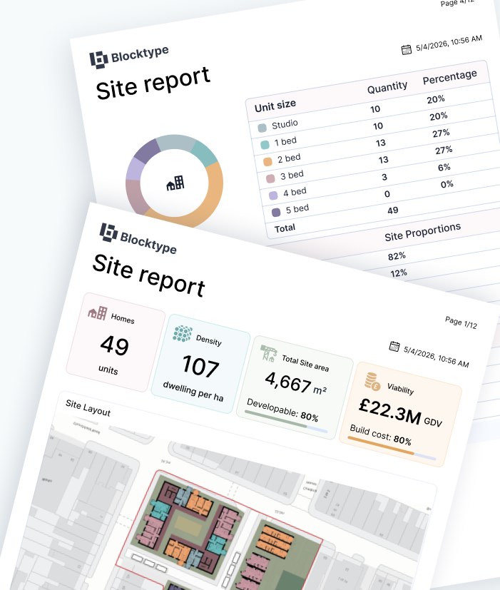
How do different layout options compare?
Create schedules, images and reports to support internal reviews.
Built for the teams turning land into housing
-
Assess more sites internally, build stronger evidence, and reduce repeated early feasibility spend.
For councils under pressure to unlock public land, evidence Local Plans, support housing delivery and make better use of limited internal resource.
Assess more sites with the same team
Quickly test council-owned, brownfield, infill and small sites before deciding which ones deserve further attention.
Create clearer evidence earlier
Move beyond rough capacity assumptions by producing more consistent evidence around constraints, density, unit mix and deliverability.
Reduce unnecessary feasibility spend
Triage sites internally before commissioning external architects, consultants or detailed design work. -
De-risk site acquisitions by testing capacity, viability and residual land value earlier.
Blocktype helps developers move faster at the point where land decisions are most uncertain: before detailed design, before consultant spend and before too much time has been sunk into a site.
Reach a land value position faster
Use early capacity, unit mix, GDV and build cost indicators to get to a residual view quickly.
Test more scenarios without external delay
Compare different layouts, densities and assumptions in-house, before commissioning external feasibility work.
Cut abortive spend
Filter out sites that do not stack before they absorb time, budget and consultant fees. -
Compare portfolios, prioritise the strongest sites, and support clearer delivery decisions.
For public-sector landowners, regeneration teams and delivery partners who need to understand the potential of multiple sites before deciding where to focus resource.
Prioritise the right sites
Quickly compare opportunities across a portfolio and identify which sites are most realistic, deliverable or worth progressing.
Improve early conversations
Create clearer evidence for internal teams, delivery partners, funders, consultants, members and senior decision-makers.
Move from ambition to action
Turn broad housing or regeneration objectives into practical site-level options that can be tested, compared and taken forward.
Book a demo
Assess more sites, faster
Screen and compare more sites in less time.
Check policy compliance early
Identify constraints, requirments and risks sooner.
Compare viable options
Make confident decisions with clearer evidence.
UKREiiF brings together conversations on housing delivery, planning reform, public land, infrastructure and investment.
But they all come down to one practical question:
What can this land realistically deliver?